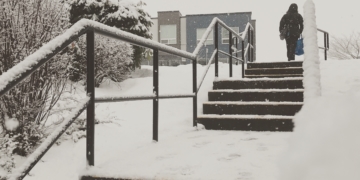


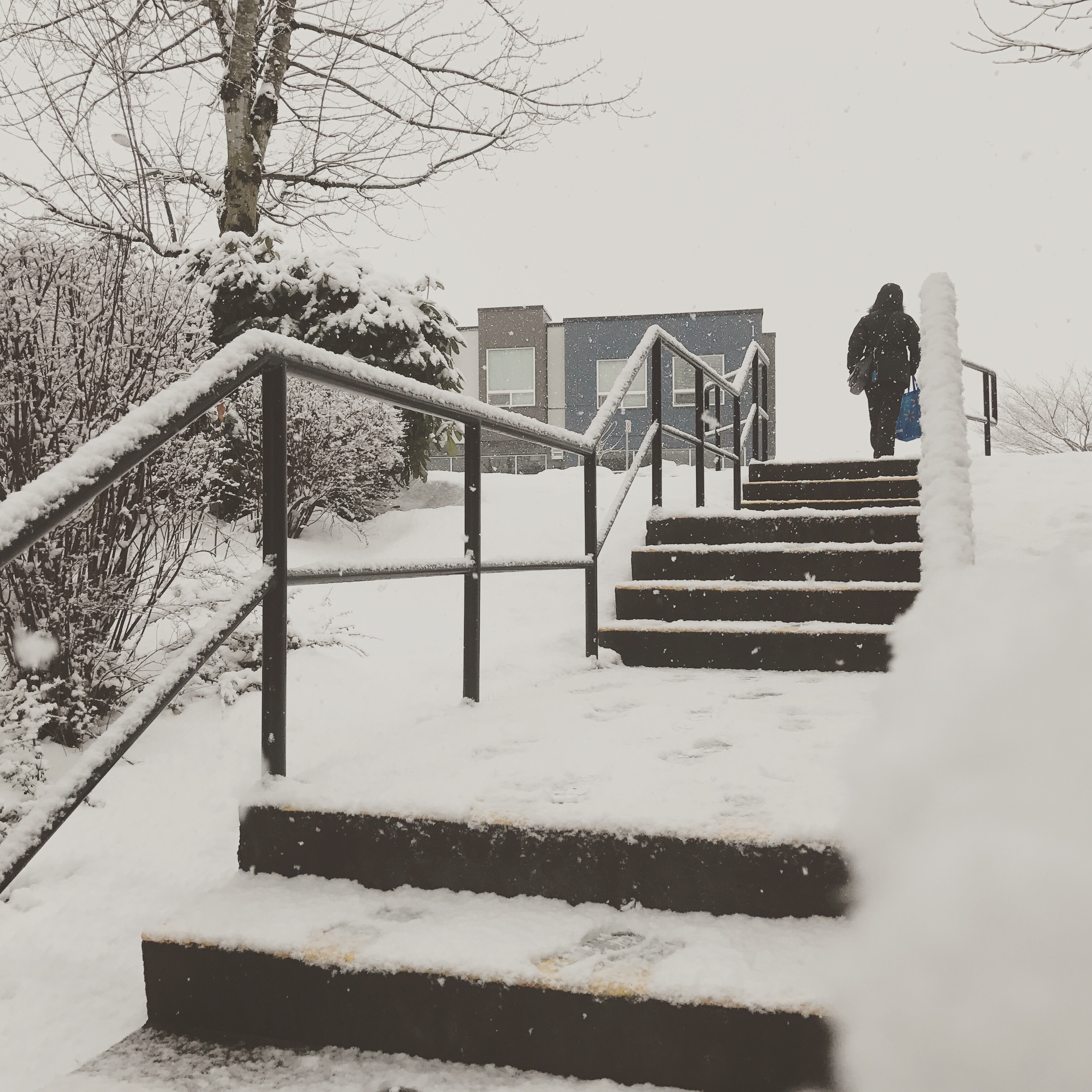
Vancouver, BC (WNewsNetwork)- Oh the weather is so frighten… Let it Snow. That right, Snow is Forecast for tonight and early Tuesday morning for higher elevations in Metro Vancouver.
Environment Canada has issued a special weather statement earlier today that snow showers is forecast later tonight as the rain changes to snow in some part of Vancouver. According to the forecast, around 5cm is forecast for some areas with colder air coming later in the week with temps before the freezing mark on some days.
Special Weather Statement (Same for Metro Vancouver)
11:18 AM PST Monday 18 December 2017
Special weather statement in effect for:
• Fraser Valley – central including Chilliwack
• Fraser Valley – east including Hope
• Fraser Valley – west including Abbotsford
…Snow likely over higher terrain on Tuesday…
…Flurries possible on Thursday…
…Colder after Thursday for the rest of the week…
The weather will become more wintery over the south coast this week.
On Tuesday a deepening low pressure system will track across northern Washington State close to the B.C. border. This system will combine plentiful Pacific moisture with cool easterly winds near the surface. The resulting weather will be a mixture of rain and snow beginning tonight over most South Coast communities. Snowfall amounts will vary significantly from region to region and especially with elevation.With the strong easterly low level winds, East Vancouver Island and Victoria will likely be the snowiest regions across the South Coast on Tuesday. Higher elevation passes like the Malahat and the Hump should see significant accumulations with at least 5 to 10 cm of snow expected. Communities away from Georgia Strait will also be the most likely to see some snowfall accumulations.
Over the mainland South Coast there will be lesser snow amounts with about 5 cm of accumulation over higher urbanized communities. Howe Sound and Whistler will get closer to 10 cm Tuesday.Precipitation will ease Tuesday night and a break in the weather is expected Wednesday. Much of the snow that falls Tuesday will probably melt on Wednesday.
A little snow is likely Thursday over the mainland coast as an Arctic front drops down from the BC Interior. The Arctic front will usher in much colder air for the rest of the week. By Friday night the lows will plummet to between minus 5 and minus 10 across the South Coast Daytime highs on Saturday will struggle to reach the freezing mark.
Please continue to monitor alerts and forecasts issued by Environment Canada. To report severe weather, send an email to ec.tempetepacifique-pacificstorm.ec@canada.ca or tweet reports using #BCStorm.
The mountain passes is expected to get hit hard tonight and tomorrow with heavy snow. Stay safe and leave the safe driving distances.