

Vancouver, Canada (WNews)- If you were hoping for the warm temperatures to be back, well the bad news is that snow and cold are forecast to continue into next week.
Snow is forecast for later tonight and into Friday with possibility of 2-4cm of snow with localized amount higher. Late Friday is when the skies are expected to clear and more cold air is expected to flood down with strong winds and wind chills of -16 C.

A Wind Warning has been issued for Langley and Surrey as well as the Fraser Valley as 90km/h gusts are expected. Power outages are expected as well as damages.
Metro Vancouver has been experiencing colder than normal since last Saturday when the Polar air flooded the mainland. Temperatures have been around the freezing mark the whole week.
The Fraser River in Maple Ridge begins to see ice formed earlier this week for the first time in over a decade. The last time that happened was during the winter of 2008 and 2009 when record cold air and snow hit Vancouver around Christmas Time.
The cold temperatures are expected to continue right into next week with more snow forecast next Tuesday and Thursday.

Drivers are expected to slow down for the changing weather conditions especially with more snow forecast. Last Sunday, Highway one was closed after many vehicles crashed in east Abbotsford. Officials are advising people to leave for work early tomorrow.

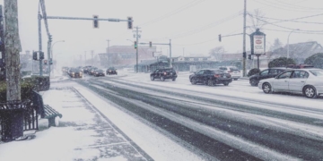
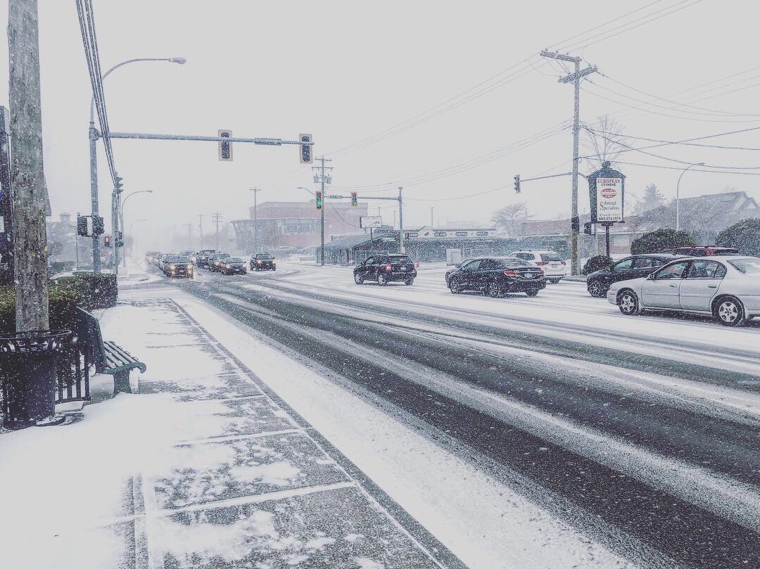
Snow from February 3rd, 2018. Taken in Surrey.