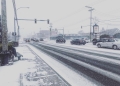


Vancouver (WNews)- Environment Canada this morning has Issue a Weather Statement for possibilities of snow for Vancouver and the Lower Mainland. Yes you read that right Snow.
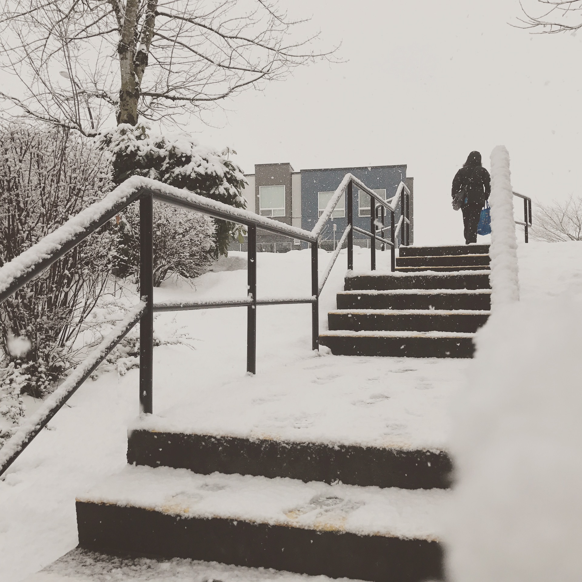
It’s the first of November and Old Man Winter is knocking on the door already. There has been modes predicting some snowfall this weekend since late last week.
The statement is in effect for the whole South Coast including the Fraser Valley.

Read the full statement below:
“11:07 AM PDT Wednesday 01 November 2017
Special weather statement in effect for:
• City of Vancouver – including Burnaby and New Westminster
• Metro Vancouver – northeast including Coquitlam and Maple Ridge
• Metro Vancouver – southeast including Surrey and Langley
• Metro Vancouver – southwest including Richmond and Delta
• North Shore – including West Vancouver and North Vancouver
Wintery Mix possible for Thursday night and Friday morning on the south coast.
An arctic front will arrive on the coast late Thursday bringing much cooler air and strong outflow winds. It will also give a chance of snow or mixed rain and snow to many areas. By Friday morning, light snowfall accumulations are possible for Fraser Valley and Howe Sound. In Vancouver, no significant accumulation is expected and any snow should be restricted to higher elevations.
In Whistler, rain is expected to change to snow tonight with 5 to 10 cm likely on Thursday.
Please closely monitor Environment and Climate Change Canada for the
latest updated forecasts.
Please continue to monitor alerts and forecasts issued by Environment Canada. To report severe weather, send an email to ec.tempetepacifique-pacificstorm.ec@canada.ca or tweet reports using #BCStorm.”
Drivers are expected to be ready for unexpected winter weather conditions over the coming days especially during the night fall.