


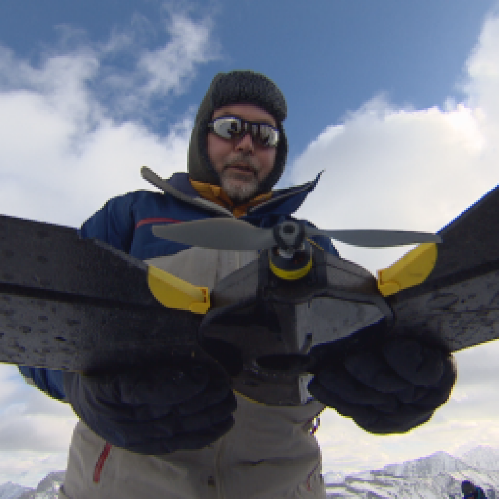
An abandoned chairlift marks what once was a developed ski run that is now a destination for scientists who hope this site will lead to better forecasting of floods, drought and other weather patterns.
ADVERTISEMENT
ADVERTISEMENT
This story was originally published on CBC News. To read the rest of this news worthy story, please visit http://www.cbc.ca/news/canada/edmonton/3d-mapping-fortress-ridge-1.4029656?cmp=rss.