Vancouver, BC (WNews Weather) – Virginia, there may be a truly white Christmas coming for Metro Vancouver as Environment and Climate Change Canada has issued a Special Weather Statement for snow and cold. Some parts of the Lower Mainland could see upwards of 40 cm or more by Boxing day.

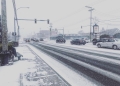
The snow is expected to start on Thursday evening. Most of the snow is not expected until Christmas Day which 20-30 cm of snow is expected to fall inland while 10-15 cm by the water.
2-4 cm of snow is expected to fall at sea level on Christmas Eve while inland could see around 5 to 10 cm of the white stuff.
According to the WNews Weather models, the blast of Arctic air is not expected to start until late Christmas as the outflow winds will start.
The temperatures will drop to -5 C right by the water while inland cities like Surrey will drop to -11 for the high.
The cold blast is expected to last night into the New Year’s celebrations and into the first week of 2022.
Early models are showing that the City of Vancouver could reach -9 for the high on Thursday, December 30.
These brave to do the Polar bear swim on New Year’s Day should expect -5 for the high by the water and -7 inland.
More snow is expected on December 30 and New Year’s Eve.
The temperatures in the Interior are expected to plunge into the minus 20s or minus 30s with the windchill expected into the -30s range. Kamloops for example is expected to reach a high of -21 on Sunday with the feel like temps of -27 C. The windchill at night is expected to be around -31 C on Sunday.
On Sunday, Prince George is expected to plunge into -28 C for the high and -33 for the low. The feels like on Sunday during the day is expected to be around -33 and the night -38.

Time Span:
Snow: Thursday night to Sunday.
Cold temperatures: Beginning Friday night and continuing through next week.
Remarks: A weather system will arrive over the south coast in the overnight hours of Thursday night and remain in the region through Sunday. Initially, the system will bring rain mixed with the snow for areas closer to the water and snow for inland areas and higher terrain.
Cooler air from the B.C. interior starts to filter out to the south coast on Friday night, however, true Arctic air is not expected to begin making its way out to the coast until later Christmas Day. As the air mass around the south coast cools, more widespread snow is possible.
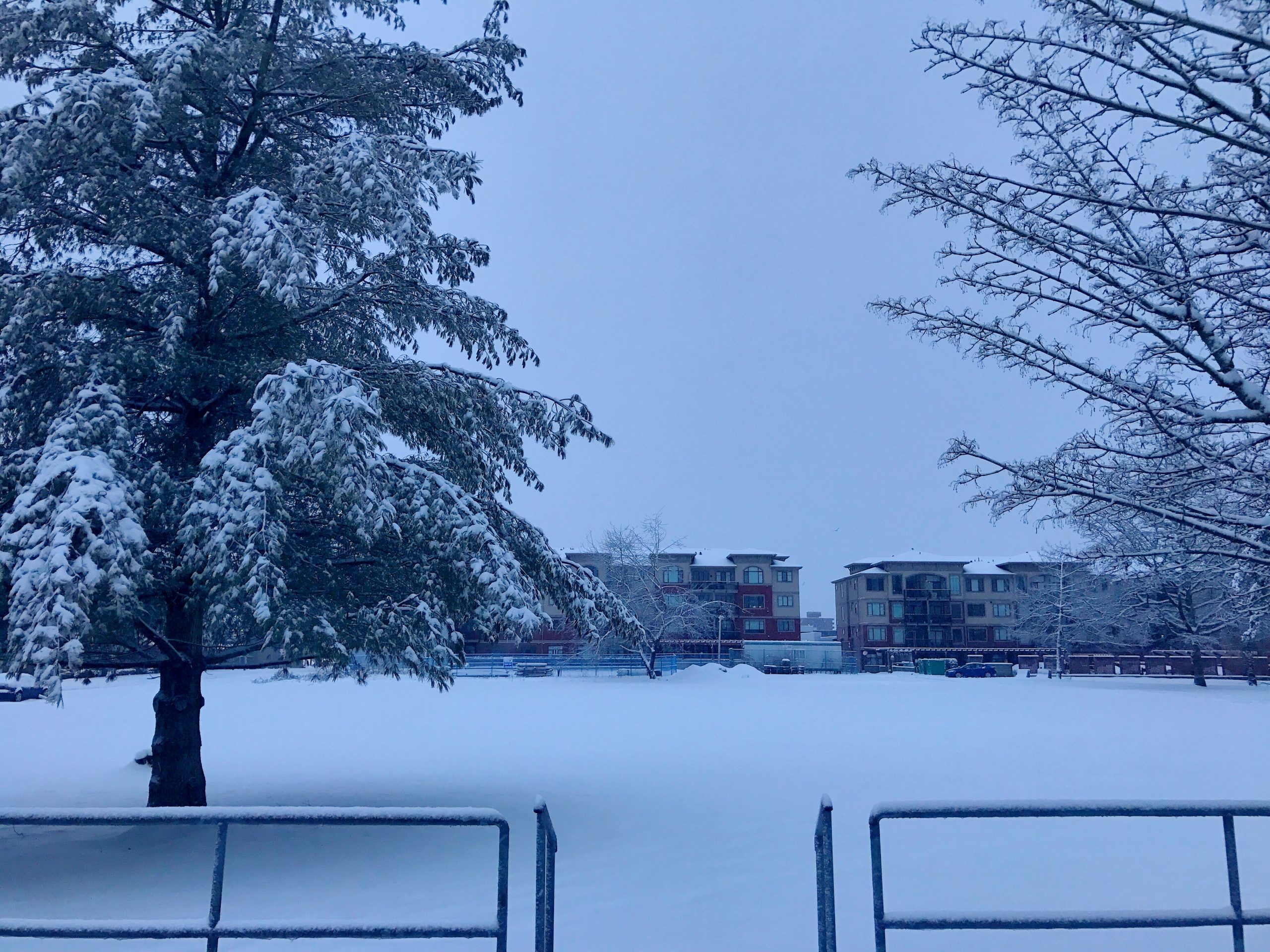
Once this cold Arctic air settles in around the south coast, temperatures are expected to be well below seasonal through the end of December. There will be an increased risk of frostbite and hypothermia with these conditions. Protect yourself and wear appropriate clothing when outdoors.